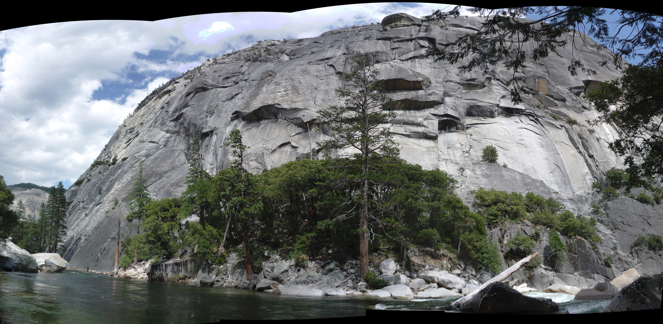
You are probably right Nate. The wall in my photos is due west of the summit of Balloon Dome in the topo a couple posts up. You can also see it at the far left of Clint's route overlay on the previous page.
I hiked up along the river past there last year. It was in May and I didn't come to a place to cross the river unless you wanted to swim.
Here is a stitched panorama from as far up the river as I got.
